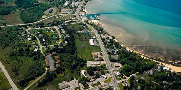
Acme Township Zoning Districts Map - Future Land Use Map
Current Zoning District Map-Click here
Future Land Use Map-Click here
Current Zoning District Map-Click here
Future Land Use Map-Click here
What is the difference between the Zoning Districts Map and the Future Land Use Map (FLUM)?
The Zoning Districts Map is located within the Acme Township Zoning Ordinance - it divides the township into zoning districts, and shows the boundaries for each district (AG, SFR,SFN, RMH, CS, C, CF, LIW). Zoning districts regulate the following:
The Future Land Use Map is located within the Acme Township Master Plan. The FLUM shows the desired land use categories for future development of land within the township. The Master Plan is required by the Michigan Planning Enabling Act to be reviewed every 5 years; the next review will be in 2024.
In summary, the Zoning Ordinance (district map included) provides the legal regulations for the land and buildings within the township. The Master Plan (FLUM included) is a guide for the township that does not have the rule of law and cannot enforce how or where something is built.
The Zoning Districts Map is located within the Acme Township Zoning Ordinance - it divides the township into zoning districts, and shows the boundaries for each district (AG, SFR,SFN, RMH, CS, C, CF, LIW). Zoning districts regulate the following:
- Type of Uses
- Building & Property Dimensions (setbacks, height, bulk, minimum parcel size)
The Future Land Use Map is located within the Acme Township Master Plan. The FLUM shows the desired land use categories for future development of land within the township. The Master Plan is required by the Michigan Planning Enabling Act to be reviewed every 5 years; the next review will be in 2024.
In summary, the Zoning Ordinance (district map included) provides the legal regulations for the land and buildings within the township. The Master Plan (FLUM included) is a guide for the township that does not have the rule of law and cannot enforce how or where something is built.